Introduction
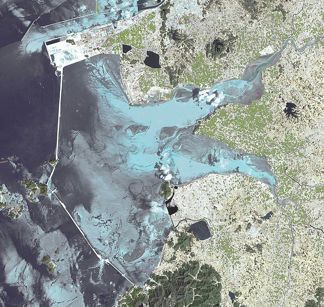
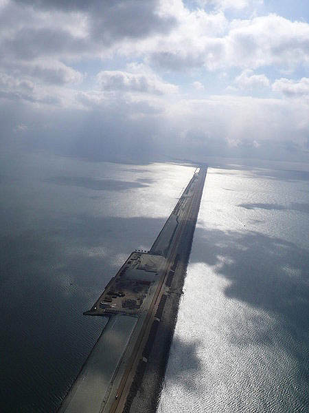
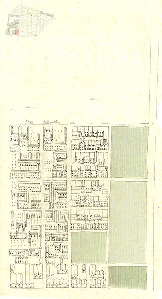
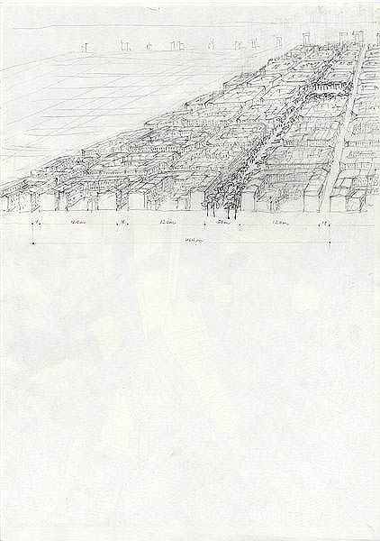
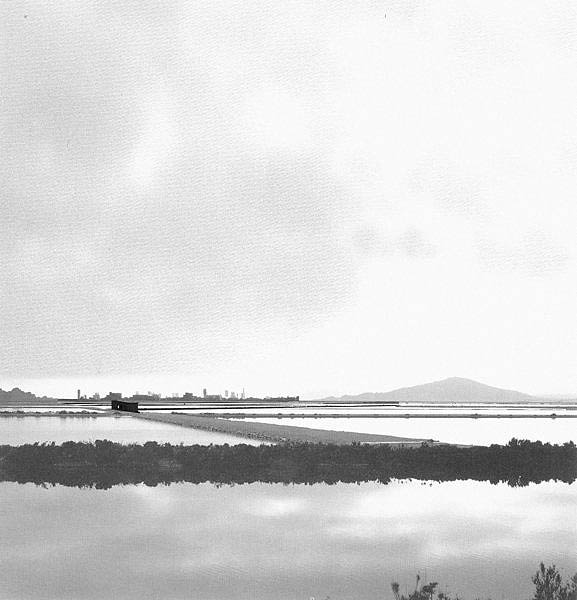
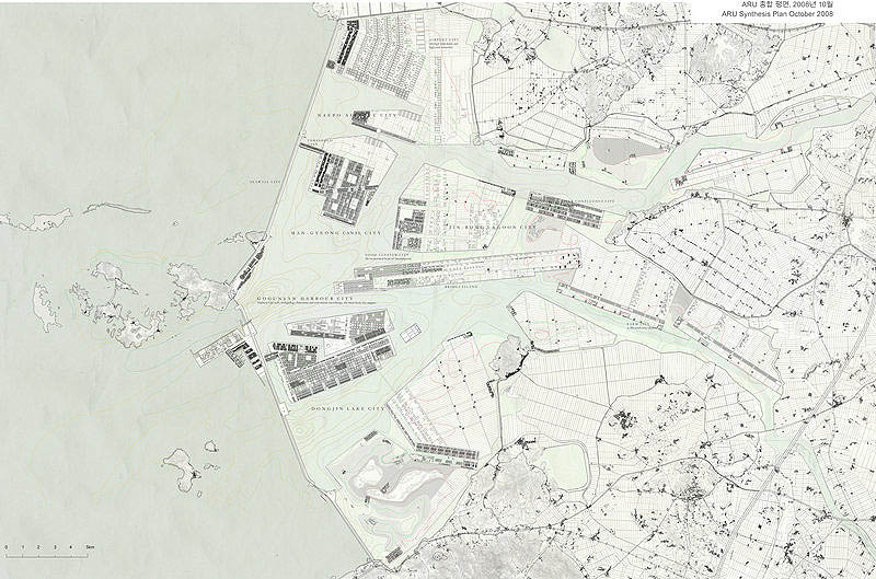
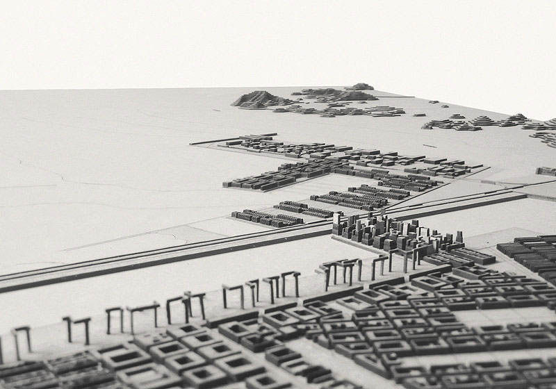
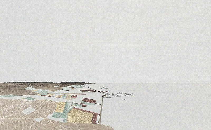
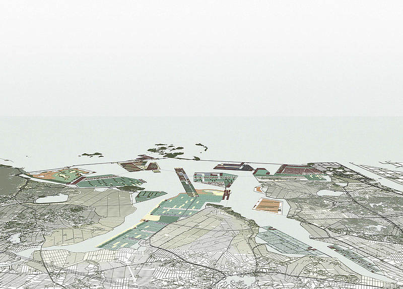
The Saemangeum project is a large 400 km2 land reclamation project on the west coast of the Korean peninsula. A 33 km long sea wall, the longest in the world, was built to enable the land reclamation. The construction of the wall started in 1991 and was completed in 1996. The site is to be developed over the coming twelve years to house a population of 680 000.
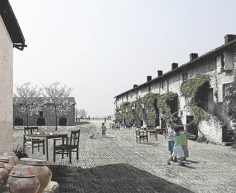
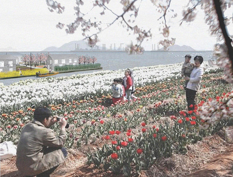
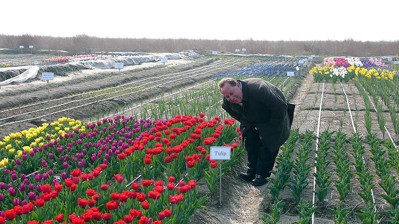
Saemangung is situated in the center of South Korea's agricultural and food processing province Jeollabuk Do. Agriculture and agricultural research will form an important part of the spatial programme.
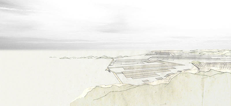
A global city is to be founded as a center for tourism, service industries and international investment. The ambition of the competition organisers is for the city to become a sustainable and vital city of co-existance in the regional network of the Yellow Sea Rim. A sustainable energy concept for the city has been envisaged.
ARU has been selected as one of the teams probably as a result of our experience designing the urban landscape of Paju Book City in Seoul Korea.
- Site area: 401 km2
- Length of sea wall: 33 km
Invited Teams
- Berlage Institute, Branimir Medic and Daniel Valle
- Colombia University, Jeffrey Inaba
- European University of Madrid, Jose Luis Esteban Penelas
- London Metropolitan University, Florian Beigel and Philip Christou
- Massachusetts Institute of Technology, Nadir Tehrani and Alexander D'Hooghe
- Tokyo Institute of Technology, Yoshihara Tsukamoto and Akira Soshiroda
- Yonsei University, Moon Gyu Choi
Credits
- Design Team :
Prof. Florian Beigel – Architect
Philip Christou – Research Fellow
Architecture Research Unit, London Metropolitan University:
Alexander Bank, Thomas Bates, Bumsuk Chung, Thomas Gantner, Alexander Gore, Minsun Kang, Jiehwoo Seung, Kalle Söderman.
ARU Students: Chris Drummond, Nicola Read, Joshua Williams
- Urban Economy Team :
Prof. Athar Hussain – Urban Economist
Director, Asia Research Centre,
London School of Economics and Political Science
Dr. Fran Tonkiss – Social Economist
Director, Cities Programme
Reader in Sociology
London School of Economics and Political Science
Research Assistants: Minji Baik, So Jung Min
- Cost Consultant :
Mun-Su Max Lee - President
Davis Langdon & Seah Korea Co. Ltd - Quantity Surveyors,
Cost & Contractual Consultants, Seoul, Korea
- Environment Consultants :
Jonathan Cook - Environmental Advisor, Landscape Architect
Director, Jonathan Cook Landscape Architects, London
Dr. Qingwei Ma - Hydrologist
The City University, London
- Renewable Energies Network :
Prof. Dr. H. Mueller (co-ordinator) - Energy Efficient Building Design
University of Dortmund, Germany
Prof. A.S. Bahaj - Marine Energy
Southampton University, UK
Dr. W. Jaeger - Façade Systems and Hydrogen Technology,
Hydro Building Systems, Germany + Norway
Prof. Dr. E. J. Lee - Photovoltaics
Semyung University, Korea
Prof. M. Santamouris - Sustainable Urban Design
National and Kapodestrian University of Athens, Greece
Prof. Schmid - Wind & Solar Energy, Biofuel & Biomass, ISET
University of Kassel, Germany
Prof. Dr. C. Rehtanz - Development of Supply Grids
Dortmund University, Germany
- Video Animation :
Tapio Snellman – Director
Michel’Angelo Ziccarelli
neutral, London
Selected Publications
- Architecture as City Saemangeum Island City
- Florian Beigel and Philip Christou, Springer Vienna, New York, Aug. 2010, 160 p. 150 illus. in color, 275mm x 240mm, hardcover, ISBN: 978-3-7091-0367-8.
- The Architectural Review
- 'An Ideas Competition In Saemangeum in South Korea Has Seen Florian Beigel's Ideas Expressed On An Epic Scale', by Kieran Long, June 2009, p.84-89.
- SPACE, Korea
- 'SAEMANGEUM ISLAND CITY London Metropolitan University', issue no. 493, Dec 2008, p.72-77, (part of a special issue on the Saemangeum Development), p.50-87, ISSN: 1228-2472.
- Building Design
- 'Islands of possibility', by Ellis Woodman, 28 Nov. 2008, p.12-15, ISSN 0007-3423.
- KBS article
- view article contains further information and a brief history of the project.Credits